sunshu

Language

Stroly

Stroly: Sunshu Journey with Historical Maps

Stroly is a digital map that links location information with illustrated maps. For Sunshu Journey Japan Heritage, digital maps have been created using historical maps from the Edo Period (1603 - 1868), and Sunshu in the Edo Period has been reproduced inside Stroly. It's easy to use. Simply access the Sunshu Journey Japan Heritage Historical Maps page from your smartphone. With the GPS function, you can compare your current location with the historical maps, and enjoy an experience that is like traveling back in time to the Edo Period for a moment. Click on the pins placed on the historical maps to read episodes about Yaji and Kita in the classic novel Tokaidochu Hizakurige (Going Tokaido Shank's Mare). Enjoy the modern day Sunshu overlaid with remnants of the Edo Period and amusing stories of Yaji and Kita's journey.

Using Stroly

It's easy to use!
Turn on the location information on your smartphone and scan this page.

There are eight maps published, from Kambara-shuku to Fujieda-shuku.
Choose a map and proceed to Step 1.

Step1
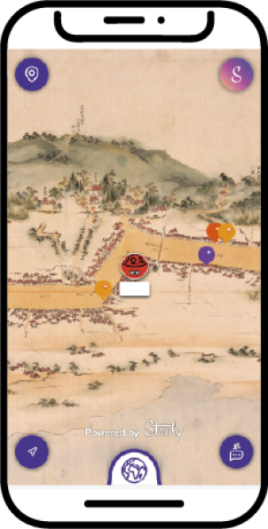
Choose your nickname and icon, then tap "Start". The app will link with GPS, so you can walk around town while checking your location on the historical map.
Step2
You can switch between Google Maps and the historical map, so you can compare your current location to what it looked like in the past, and return to the present day. It will feel like you are traveling through time.
Step3
Historical sites and sightseeing facilities are registered to the pins on the maps, so you can conveniently read episodes and check information related to each spot.

Try using the app now.